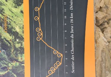
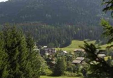
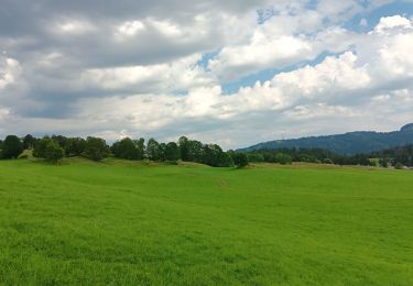
Trail Walking Septmoncel les Molunes - Les Molunes - mairie  - Photo
 jacno
jacno

User

© OpenStreetMap contributors
Length
Length
6.3 km
Max alt
Max alt
1267 m
Uphill gradient
Uphill gradient
155 m
Km-Effort
Km-Effort  
8.4 km
Min alt
Min alt
1139 m
Downhill gradient
Downhill gradient
158 m
Boucle
Boucle
Yes
Creation date :
2024-02-06 12:16:32.737
Updated on :
2024-02-06 12:16:36.384

(1 Reviews)

Walking
Walking
1h54
Difficulty : Medium

Scan this QR Code to open this trail in the SityTrail application

FREE GPS app for hiking

Logo SityTrail SityTrail

IGN / Geographical institutes

Download SityTrail from the App Store Download SityTrail from Google Play

Logo SityTrail SityTrail World

The world is yours!

Download SityTrail from the App Store Download SityTrail from Google Play Download SityTrail on Huawei AppGallery

About

Trail Walking of 6.3 km to be discovered at Bourgogne-Franche-Comté, Jura, Septmoncel les Molunes. This trail is proposed by jacno.
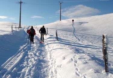
Elevation profile

Positioning

Country:
France
Region :
Bourgogne-Franche-Comté
Department/Province :
Jura
Municipality :
Septmoncel les Molunes
Location:
Les Molunes
Start:(UTM)
724930 ; 5136542 (31T) N.

Comments

Please log in to post a review or rate the element


Trails nearby

Trail Walking Septmoncel les Molunes - circuit des chamois Septmoncel  - Photo
Walking
zoe.vienne

Walking

Difficult
(1)
Septmoncel les Molunes, Bourgogne-Franche-Comté, Jura, France
16.3 km | 31 km-effort
5h 51min
Yes
Trail Mountain bike Lélex - Espace VTT FFC Entre Jura et Léman - Circuit n°01 - Les Hautes Combes - Photo
Mountain bike
tracegps

Mountain bike

Difficult
(1)
Lélex, Auvergne-Rhône-Alpes, Ain, France
36 km | 50 km-effort
3h 30min
Yes
Trail Walking Septmoncel les Molunes - mo sentier des lapidaires - Photo
Walking
GUIDE
stef789

Walking

Medium
Septmoncel les Molunes, Bourgogne-Franche-Comté, Jura, France
10.3 km | 14.4 km-effort
3h 28min
Yes
Trail Cycle Lajoux - 2023-08-18_15h23m20_lamoura - Photo
Cycle
daniellebou

Cycle

Very easy
(1)
Lajoux, Bourgogne-Franche-Comté, Jura, France
21 km | 26 km-effort
Unknown
Yes
Trail Running Saint-Claude - UTTJ 2015-1 - Photo
Running
bourel.jacques

Running

Very difficult
(1)
Saint-Claude, Bourgogne-Franche-Comté, Jura, France
56 km | 100 km-effort
20h 4min
No
Trail Walking Lajoux - Le crêt de la vigoureuse (le vrai) - Photo
Walking
GUIDE
stef789

Walking

Easy
Lajoux, Bourgogne-Franche-Comté, Jura, France
10.4 km | 13.4 km-effort
4h 9min
Yes
Trail Walking Villard-Saint-Sauveur - cascade de flumen - saut du chien - retour en partie par la route  - Photo
Walking
GUIDE
stef789

Walking

Medium
Villard-Saint-Sauveur, Bourgogne-Franche-Comté, Jura, France
9.4 km | 14.4 km-effort
3h 3min
Yes
Trail Walking Lajoux - crêt vigoureuse - Photo
Walking
eltonnermou

Walking

Medium
Lajoux, Bourgogne-Franche-Comté, Jura, France
12.3 km | 16.8 km-effort
5h 0min
Yes
Trail Walking Bellecombe - crêt chalam borne au lion - Photo
Walking
eltonnermou

Walking

Medium
Bellecombe, Bourgogne-Franche-Comté, Jura, France
19.3 km | 27 km-effort
7h 16min
Yes


Close
My subscriptions